
Property ID: 0096
15+ Wooded Acres with Drilled Well & Cleared Hay Field in Franklin County, NC!
Franklin, North Carolina
15.81
Agricultural
No Restrictions, Part-Time Camping Allowed
Description
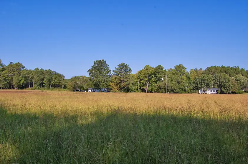
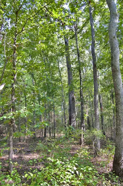
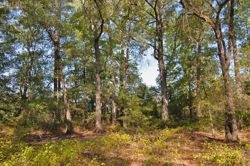
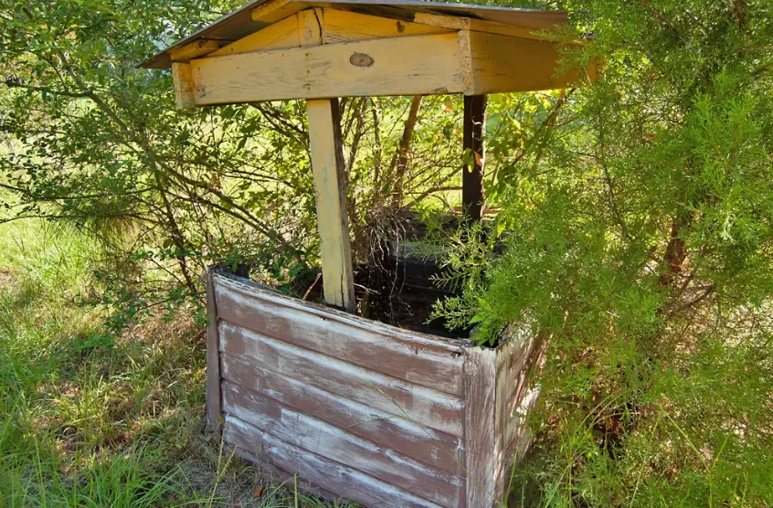
15.81 acres of mixed pine and hardwood in Franklin County, NC, with a drilled water well already in place. Roughly 4.3 acres near the road frontage has been cleared and kept in hay, leaving the rest surrounded by mature timber. Two older mobile homes and a storage shed remain on the property. A previous septic system likely exists but has no current permit on file.
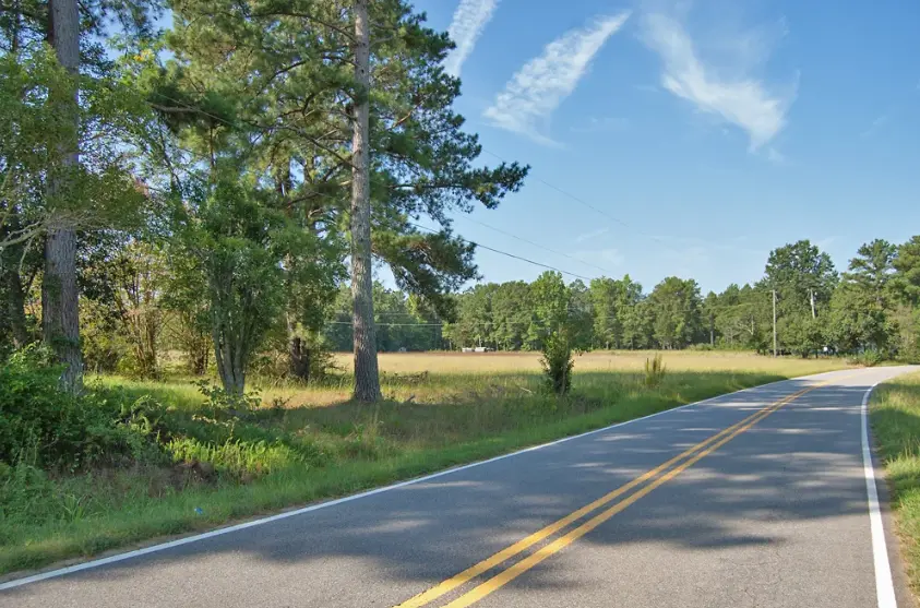
Access is 415 feet of frontage on Laurel Mill-Centerville Road plus a 45-foot easement and gravel driveway along the western boundary. Electric is available at the road. Suitable for a rural residence, small farm, hunting, or recreation. About 12 miles to Louisburg and 33 miles to Wake Forest.
Property Details
Location
0096
Laurel Mill-Centerville Road
Louisburg
North Carolina
27549
Franklin
36.1892, -78.1422
Property Specifics
012610
930
Not in a subdivision
Property Characteristics
15.81
Rectangle
Flat
Mixed; Wooded & Grasslands
Dirt
Yes
Building Information
READ THIS: We are not the Planning & Zoning department and while we try to answer common questions about what the property can be used for, we can't provide a yes or no answer for every circumstance. Below we provide helpful contact information to complete due diligence. Front Range Land or its affiliates make no warranty or guarantee, either expressed or implied relative to usability, the exact location, desirability, or usefulness of the properties or boundary lines of the properties. Buyer is solely responsible for determining the condition of the property, the physical aspects of the land, its geographical location, accessibility, and correct acreage. All information contained herein is deemed reliable but not guaranteed. Buyer is required to complete Buyer's own due diligence prior to purchasing any property from Front Range Land or its affiliates.
Agricultural
Allowable Uses
Sightseeing, Camping, Hunting
Water
Drilled well already on property
Sewer, Septic or Other
Prior septic likely exists (no current permit on file)
Electricity
Available at the road
Gas
No
Contact information
Email: offers@frontrangeland.com or Call: (719)-428-2516